AccuWeather


- Winter Weather Advisory
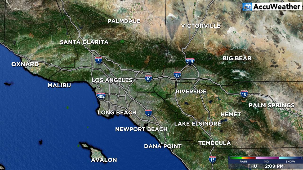
* WHAT...Wet snow expected. Total snow amounts up to 6 inches above 6000 feet. Winds gusting as high as 40 mph. * WHERE...Northern Ventura County MountainsSanta Barbara County Interior Mountainsand Southern Ventura County Mountains. * WHEN...From 9 PM Saturday to 11 AM PDT Monday. * IMPACTS...The hazardous conditions could impact the Monday morning commute. * ADDITIONAL DETAILS...Snow levels will be around 7000 feet through Sunday morningthen lowering to 6000 feet Sunday afternoon and 4500 to 5000 feet late Sunday night into Monday morning.More
- Winter Weather Advisory
* WHAT...Wet snow expected. Total snow accumulations up to 6 inches above 6000 feet. Winds gusting as high as 40 mph. * WHERE...Eastern San Gabriel MountainsInterstate 5 Corridorand Western San Gabriel Mountains and Highway 14 Corridor. * WHEN...From 3 AM Sunday to 11 AM PDT Monday. * IMPACTS...Plan on slippery road conditions. The hazardous conditions could impact the Monday morning commute. * ADDITIONAL DETAILS...Snow levels will be around 7000 feet through Sunday morningthen lowering to 6000 feet Sunday afternoon and 4500 to 5000 feet late Sunday night into Monday morning. No accumulating snow is expected on the Grapevine over Interstate 5 but there could be a mix of rain and snow there Monday morning.More


